June 2, 2021 - Day Twelve, Flight Four
Missouri River, Gates of the Mountains, Yellowstone West
|
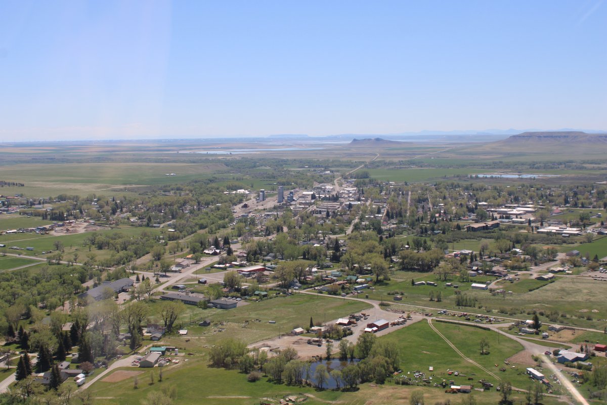
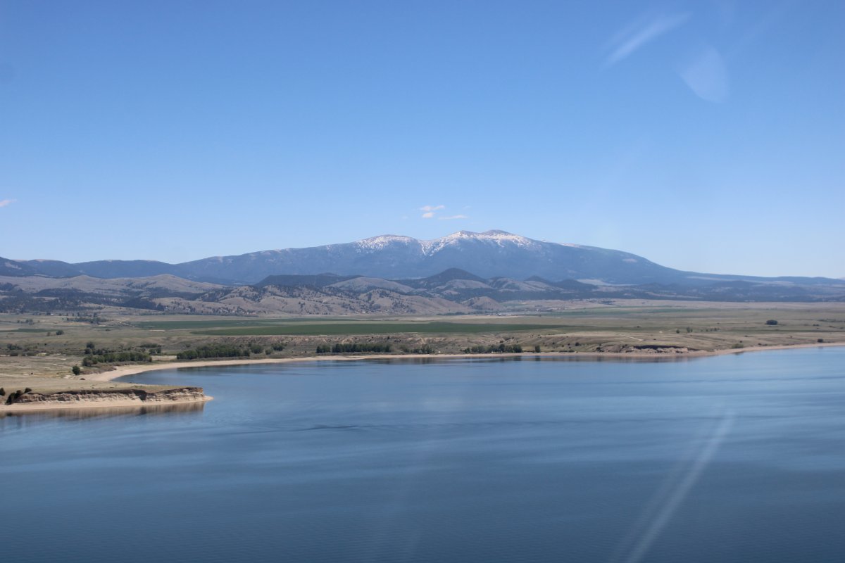
| Another look at Choteau after takeoff. Choteau would make a good overnight stop -- they airport has a courtesy car. |
| |
 |
|
|
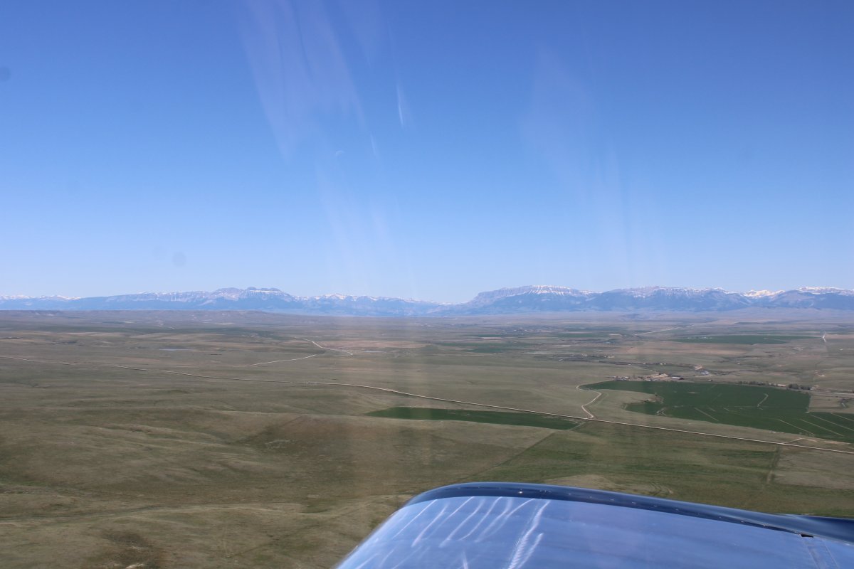
I head south, paralleling the Rockies. My destination -- Yellowstone West Airport.
|
| |
 |
|
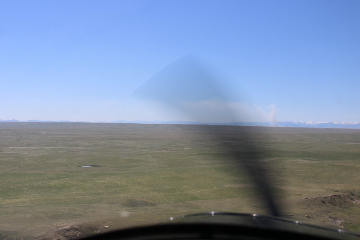
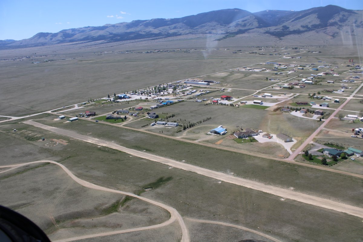
| Flat country. |
| |
 |
|
|
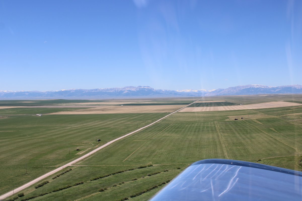
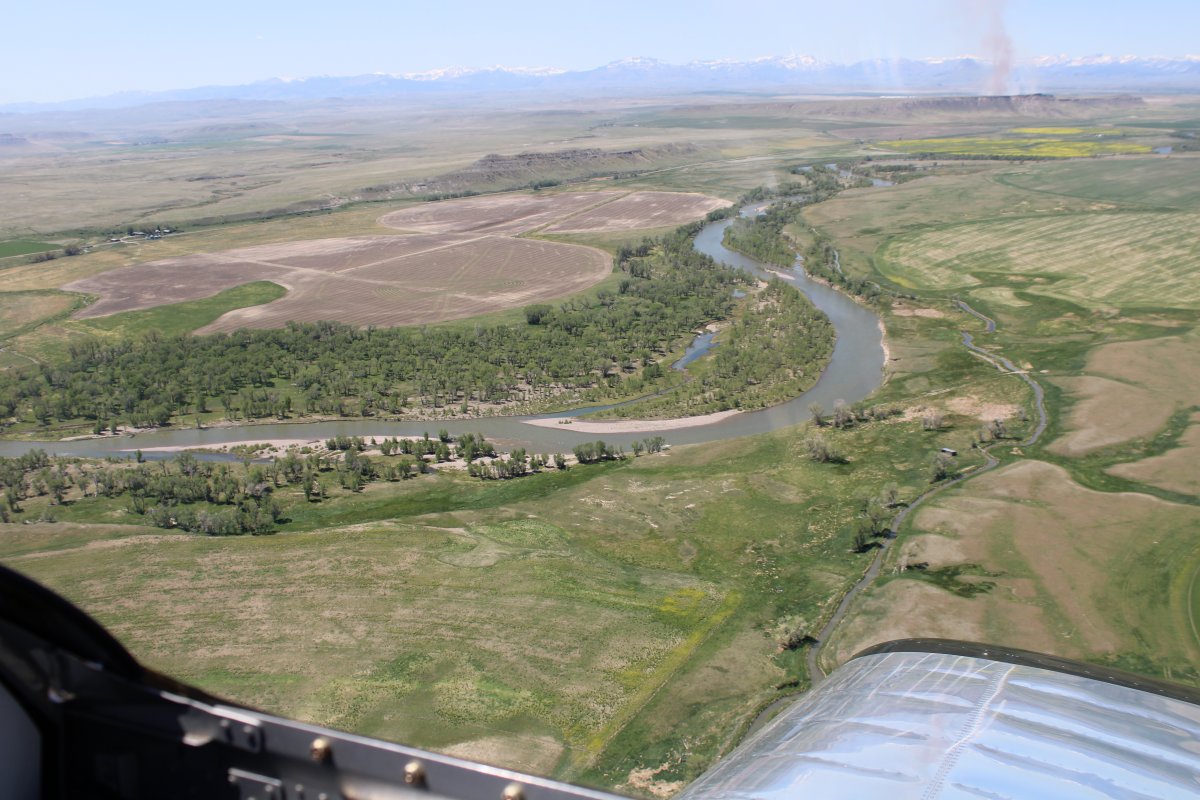
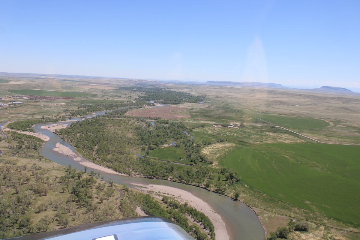
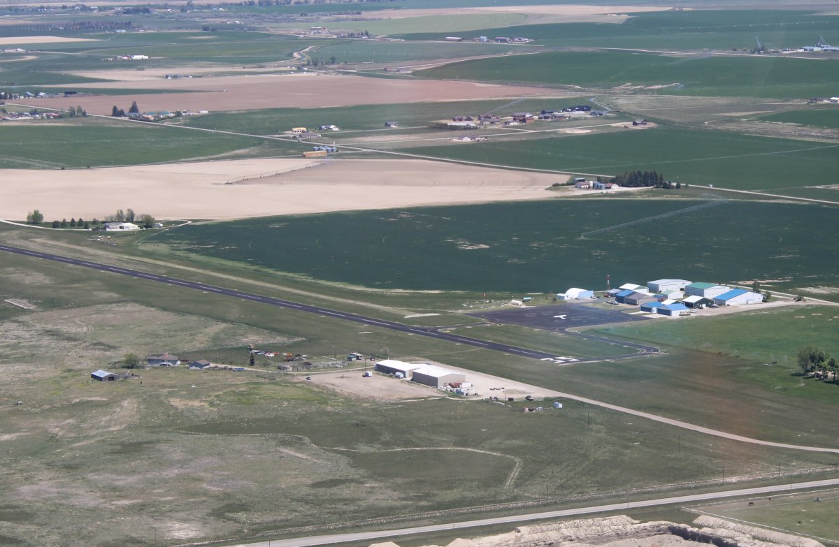
But lots of agriculture. There must be water around.
|
| |
 |
|
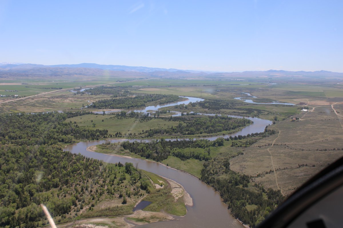
| And there is. Looking west, I pass over the Sun River. |
| |
 |
|
| Looking east, as the Sun River continues on to Great Falls where it joins the Missouri River. |
| |
 |
|
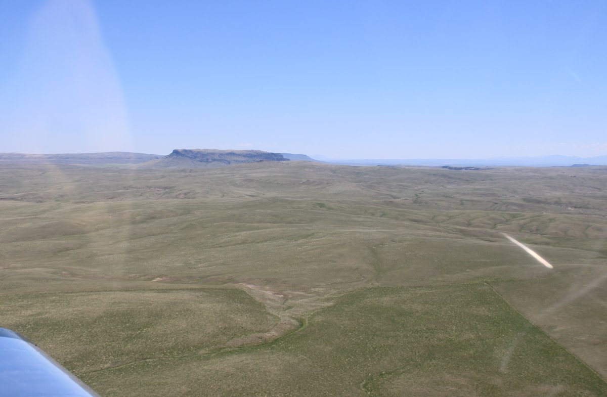
| Looking at Square Butte off to the east. |
| |
 |
|
|
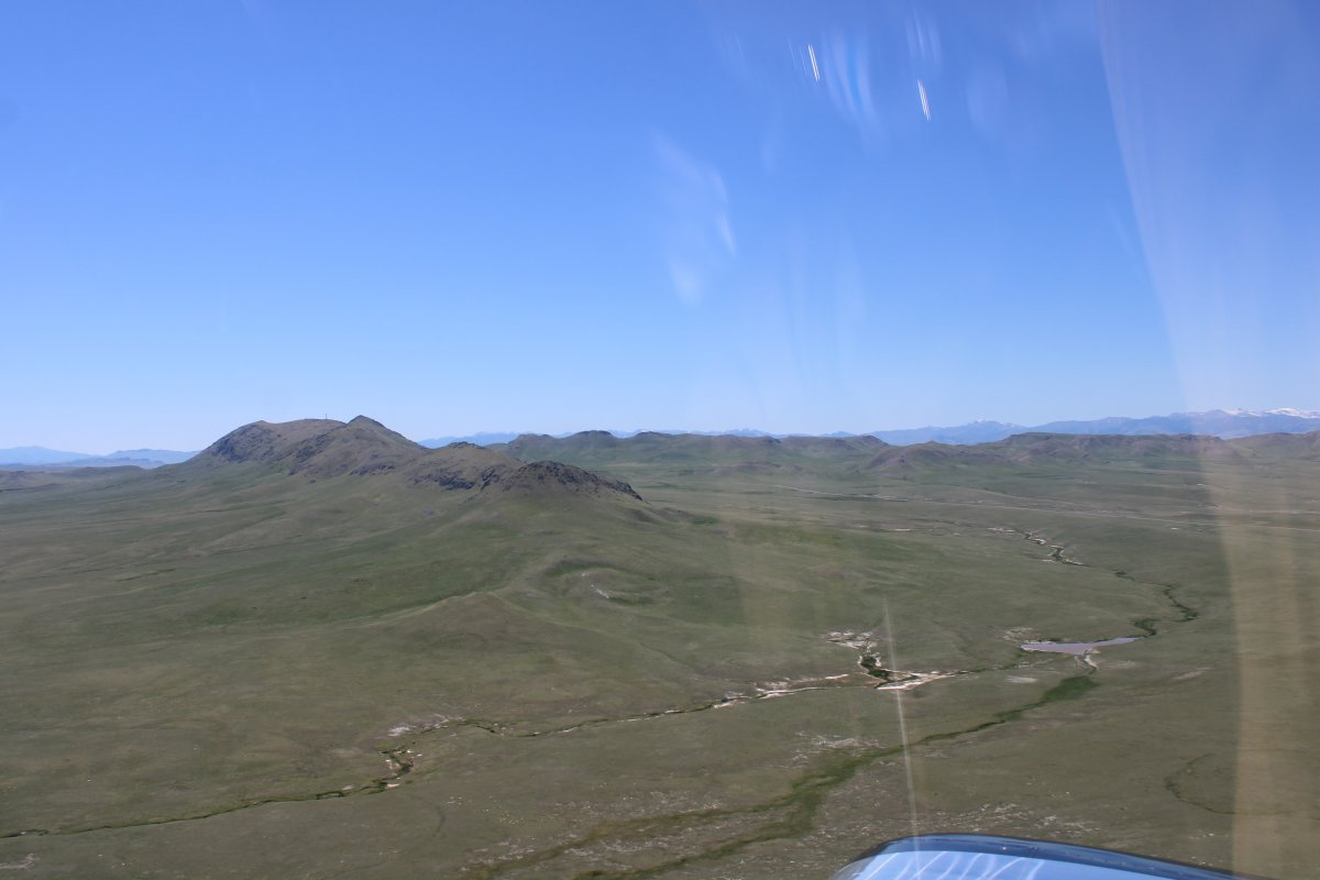
Looking west.
|
| |
 |
|
|
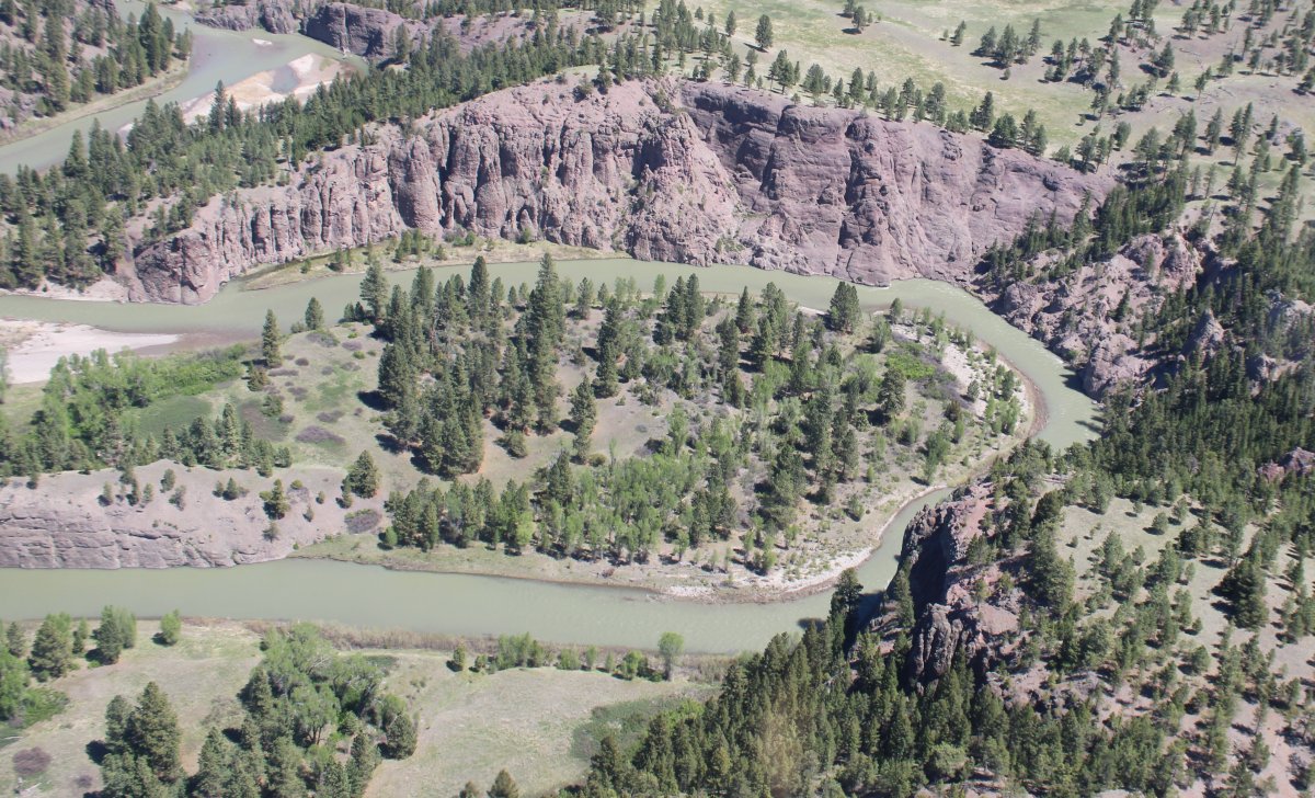
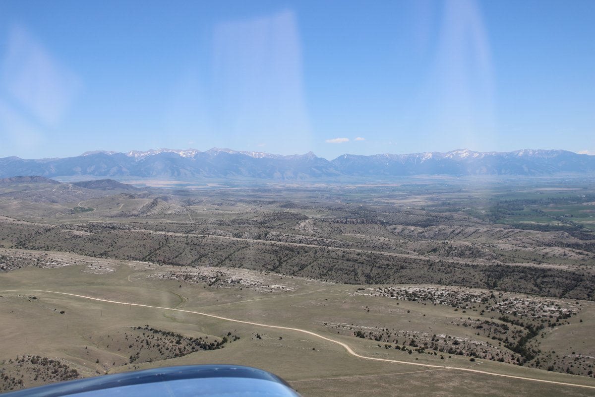
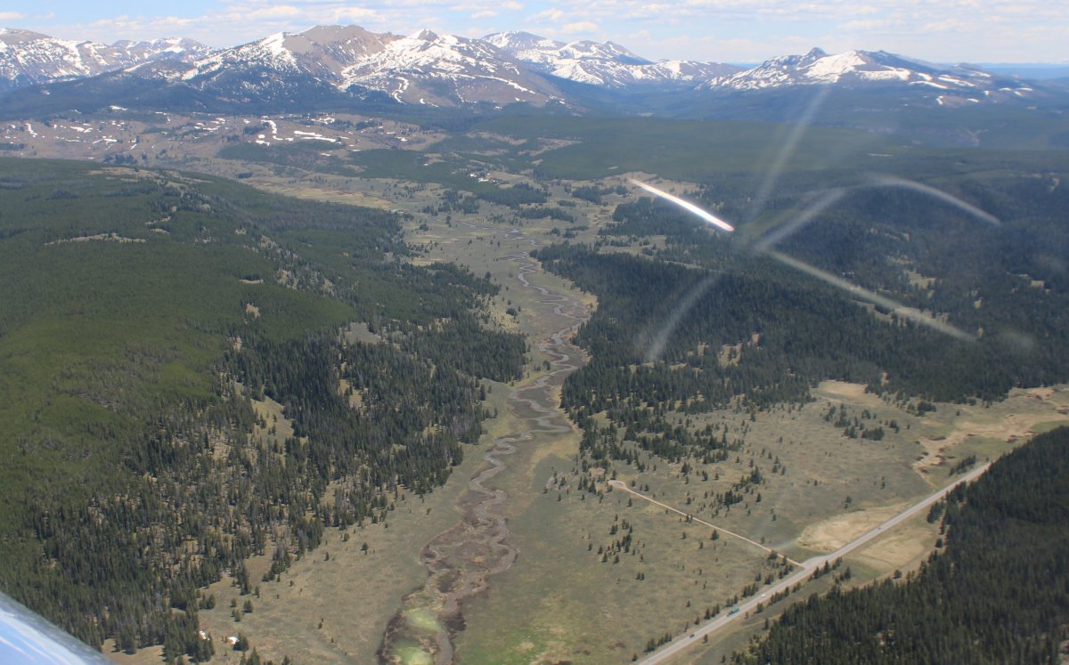
The Rockies sort of run northwest to southeast so I am back in them again.
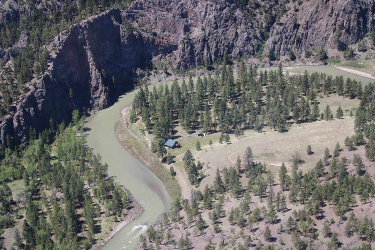
That's the Dearborn River down there. Whoever lives in that cabin down there has quite a spot!
|
| |
 |
|
| |
| |
 |
|
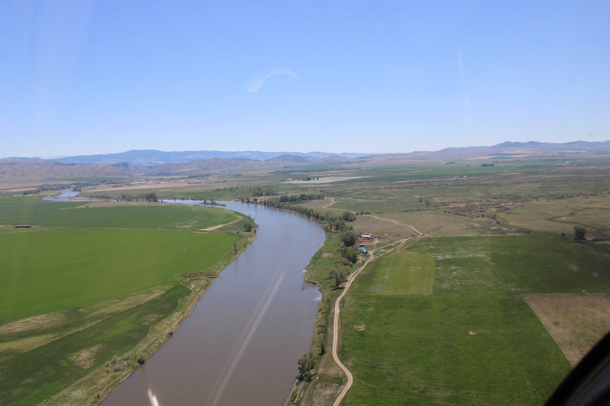
| My old friend the Missouri River comes into view on my left. I flew the Missouri back in 2010. |
| |
 |
|
|
I'm now following the Mighty Mo.
|
| |
 |
|
| Approaching Holter Dam and Lake. The dam was built between 1908 and 1918. |
| |
 |
|
|
Lower Holter Lake.
|
| |
 |
|
|
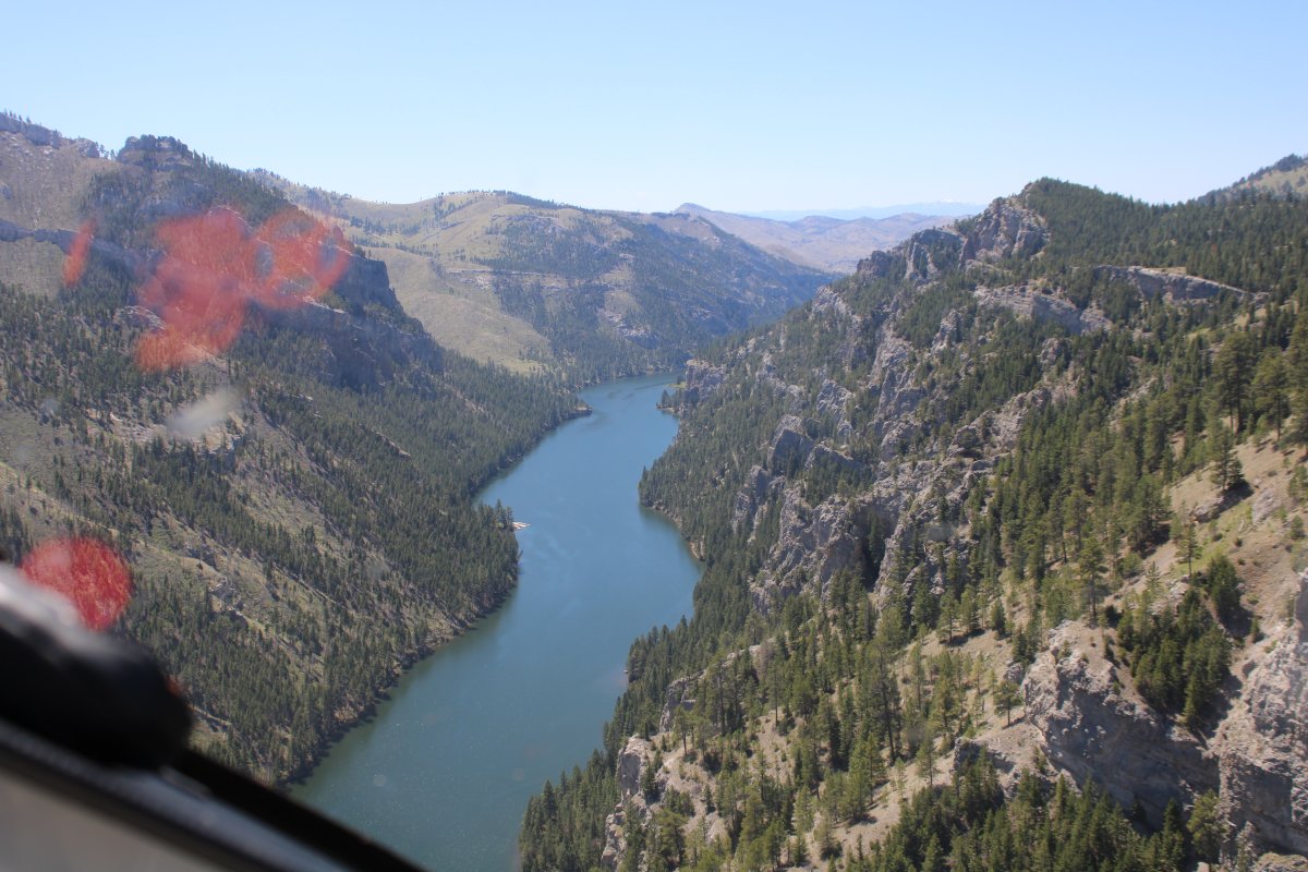
Approaching the Gates of the Mountains.
The Gates of the Rocky Mountains were first recorded when the Lewis and Clark Expedition passed through the area in 1805. Captain Meriwether Lewis wrote on July 19, 1805: "this evening we entered much the most remarkable clifts that we have yet seen. these clifts rise from the waters edge on either side perpendicularly to the height of 1200 feet. ... the river appears to have forced its way through this immense body of solid rock for the distance of 5-3/4 Miles ... I called it the gates of the rocky mountains."
The Gates of the Mountains has been tourist attraction since the period 1886 to 1906, when the steamboat Rose of Helena traversed the Missouri River through this area. Although the Missouri River once ran swiftly through the Gates of the Mountains, Holter Dam drastically reduced the flow of water so that now the area has almost no current. Water levels in the Gates are now 14 feet higher than they were in 1805.
|
| |
 |
|
| Entering the Gates of the Mountains. |
| |
 |
|
| Straightaway. |
| |
 |
|
|
I emerge from the Gates over Upper Holter Lake.
This shot is looking back at the Gates of the Mountains. There is a boat tour place just outside the picture on the left.
|
| |
 |
|
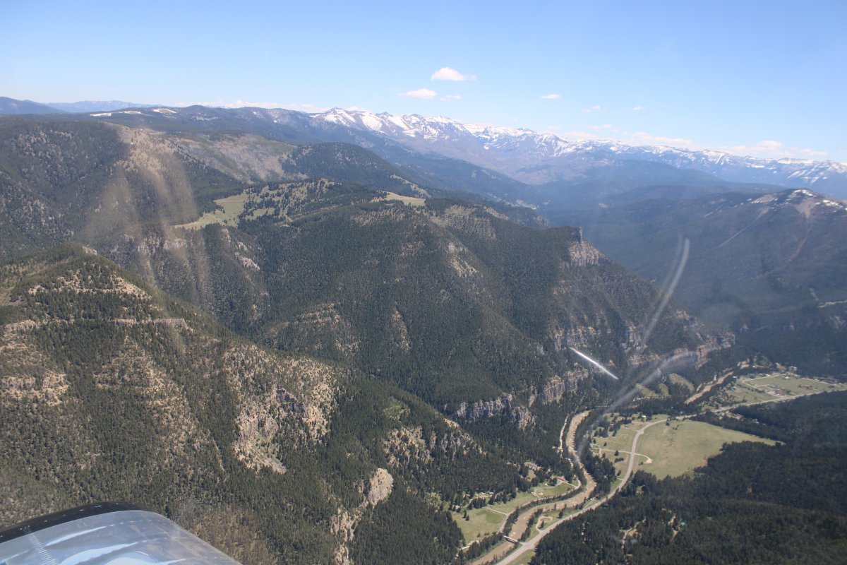
| I enter another mountain pass called Foster Gulch. |
| |
 |
|
| You can mine for sappires at upper left. Notice the dirt airstrip at lower center. |
| |
 |
|
| Coming out of the mountains into a big valley. |
| |
 |
|
|
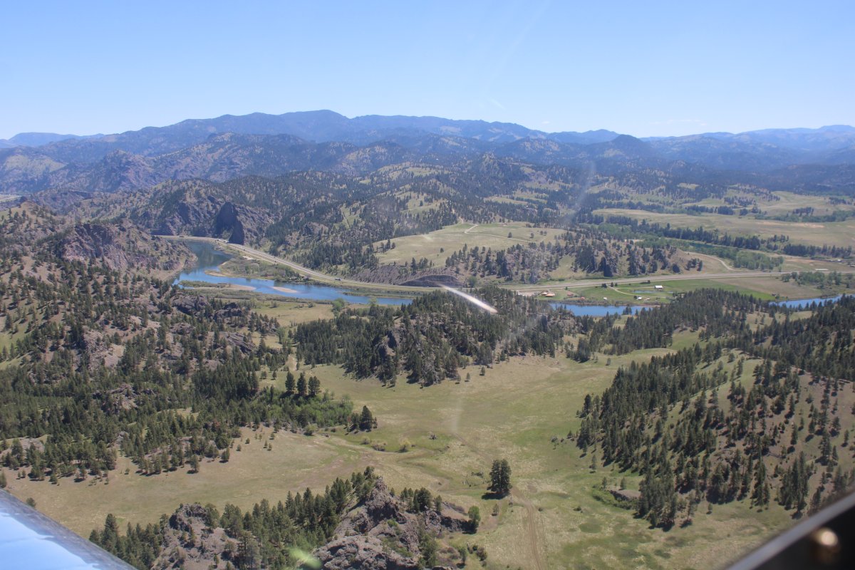
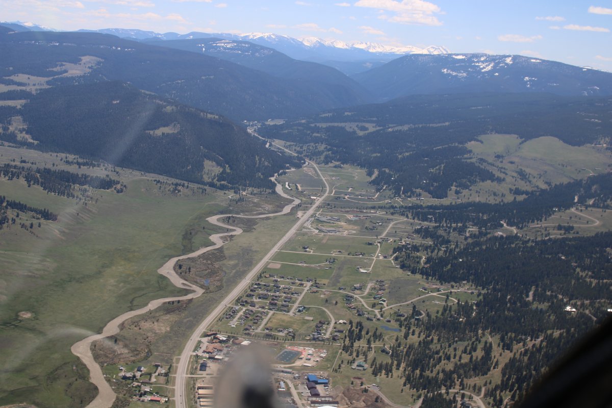
Helena, Montana's state capital, is dead ahead.
|
| |
 |
|
| As close to Helena as I can get without entering Helena's airport Class-D airspace. |
| |
 |
|
|
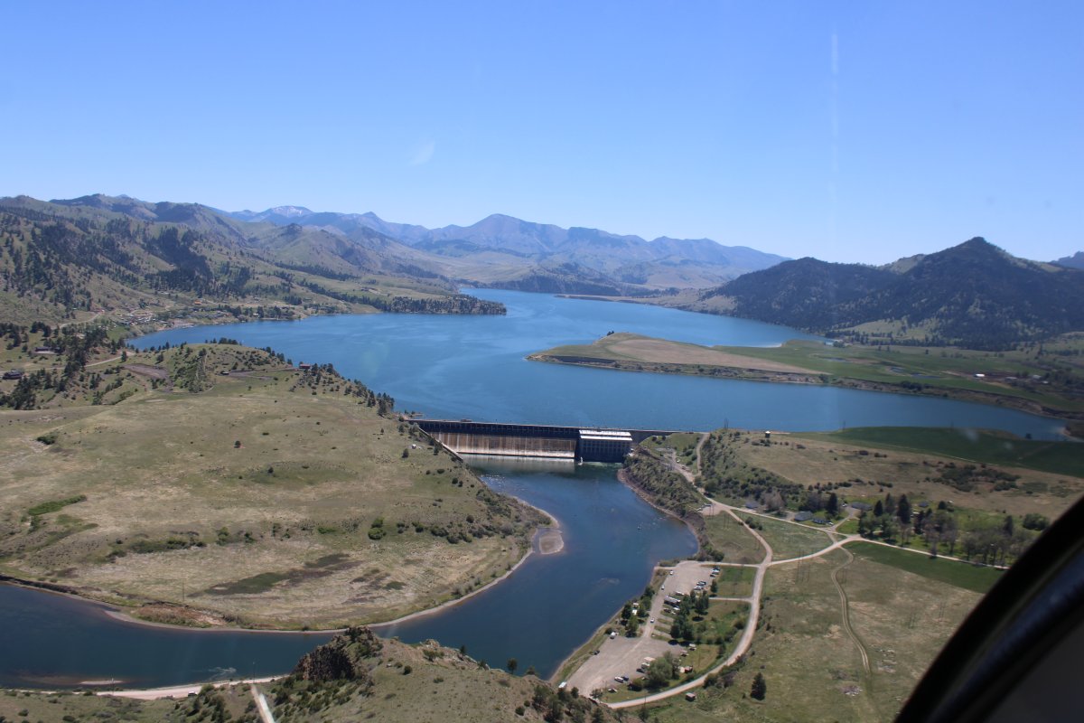
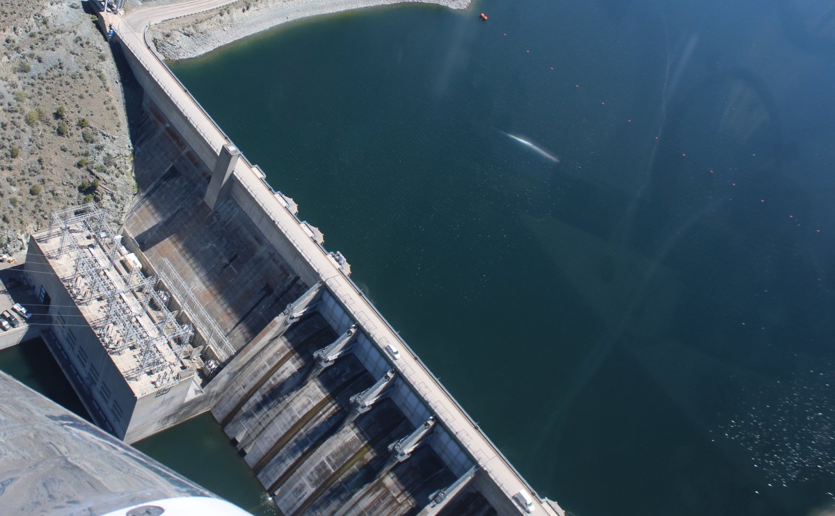
|
| |
 |
|
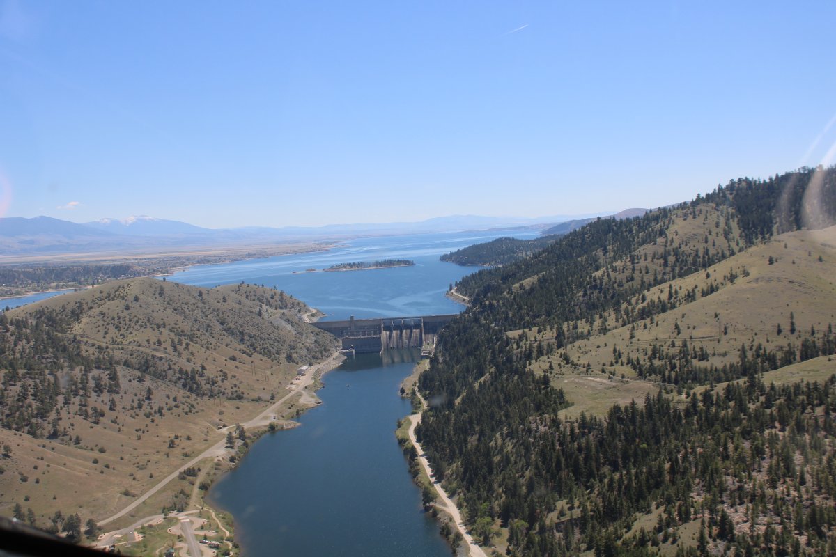
| Construction began on May 24, 1949, and was completed on June 23, 1954. |
| |
 |
|
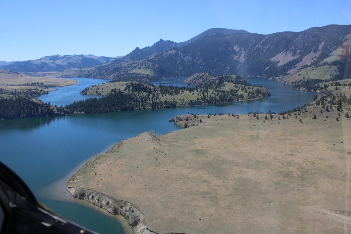
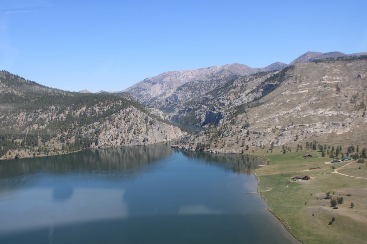
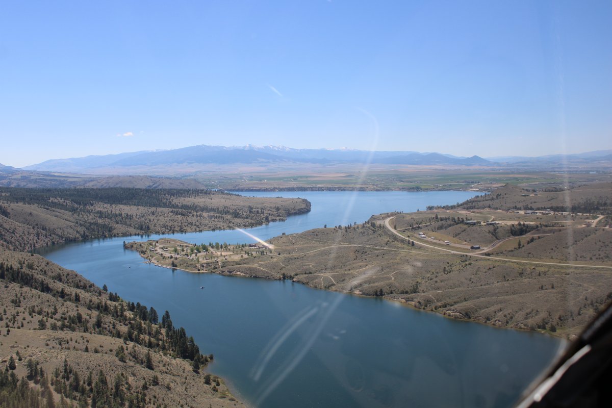
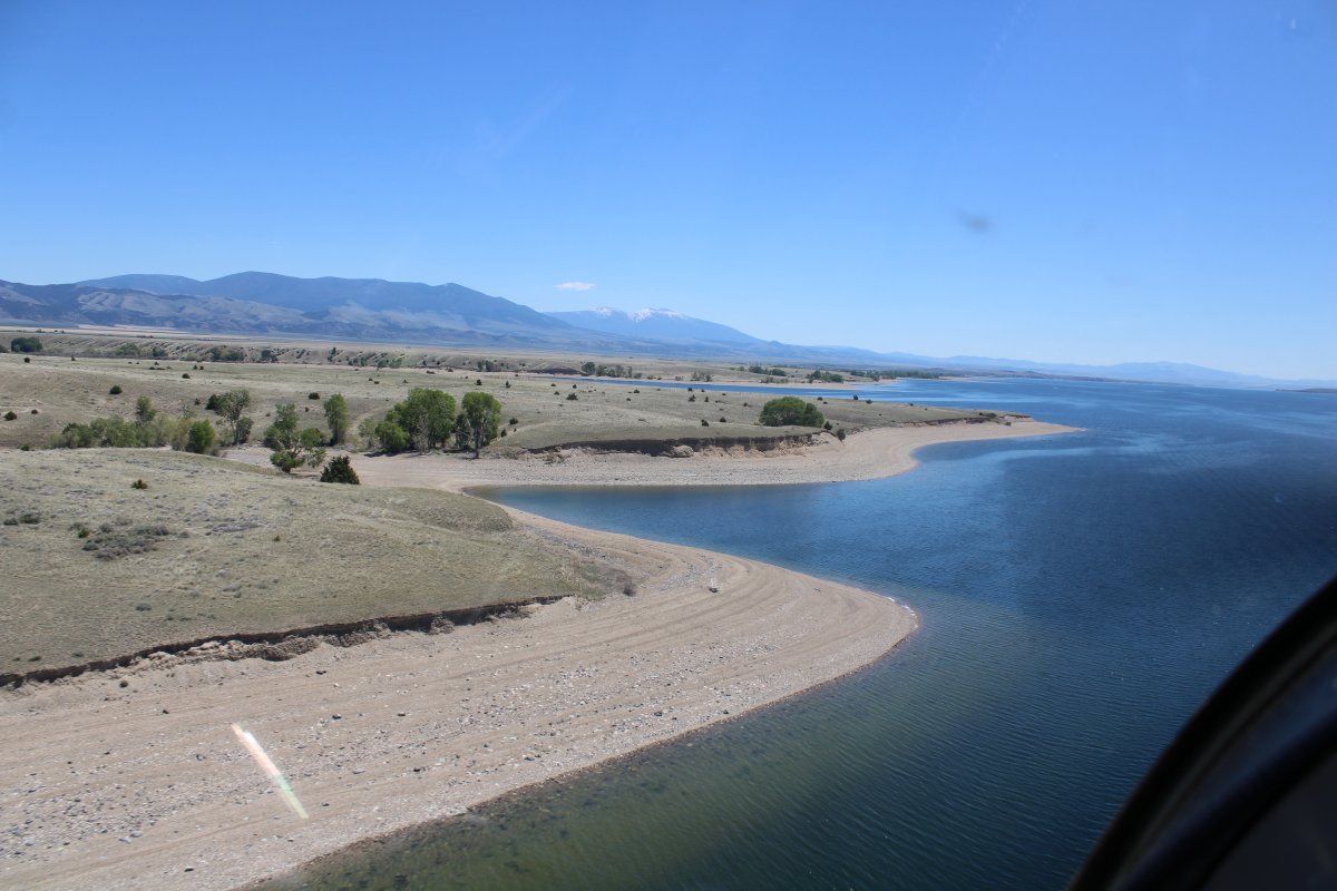
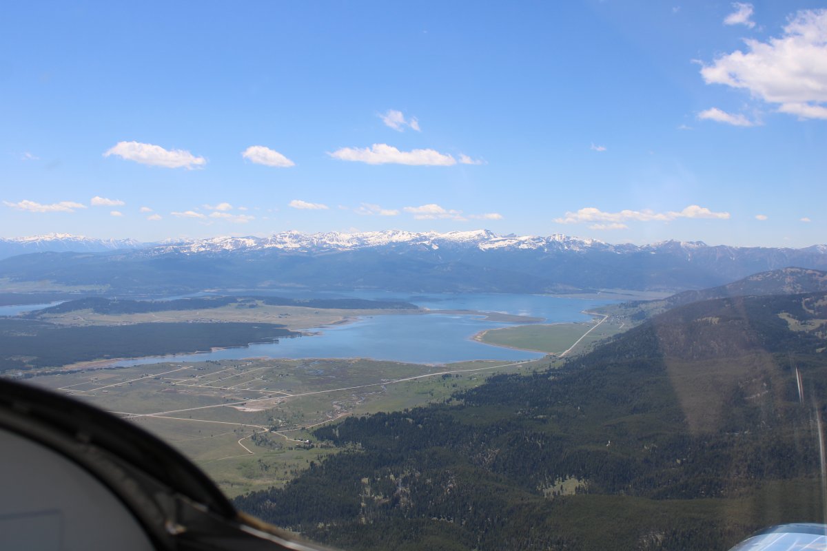
| Where there's a dam, there's a lake. Surprise, it's the Canyon Ferry Lake. |
| |
 |
|
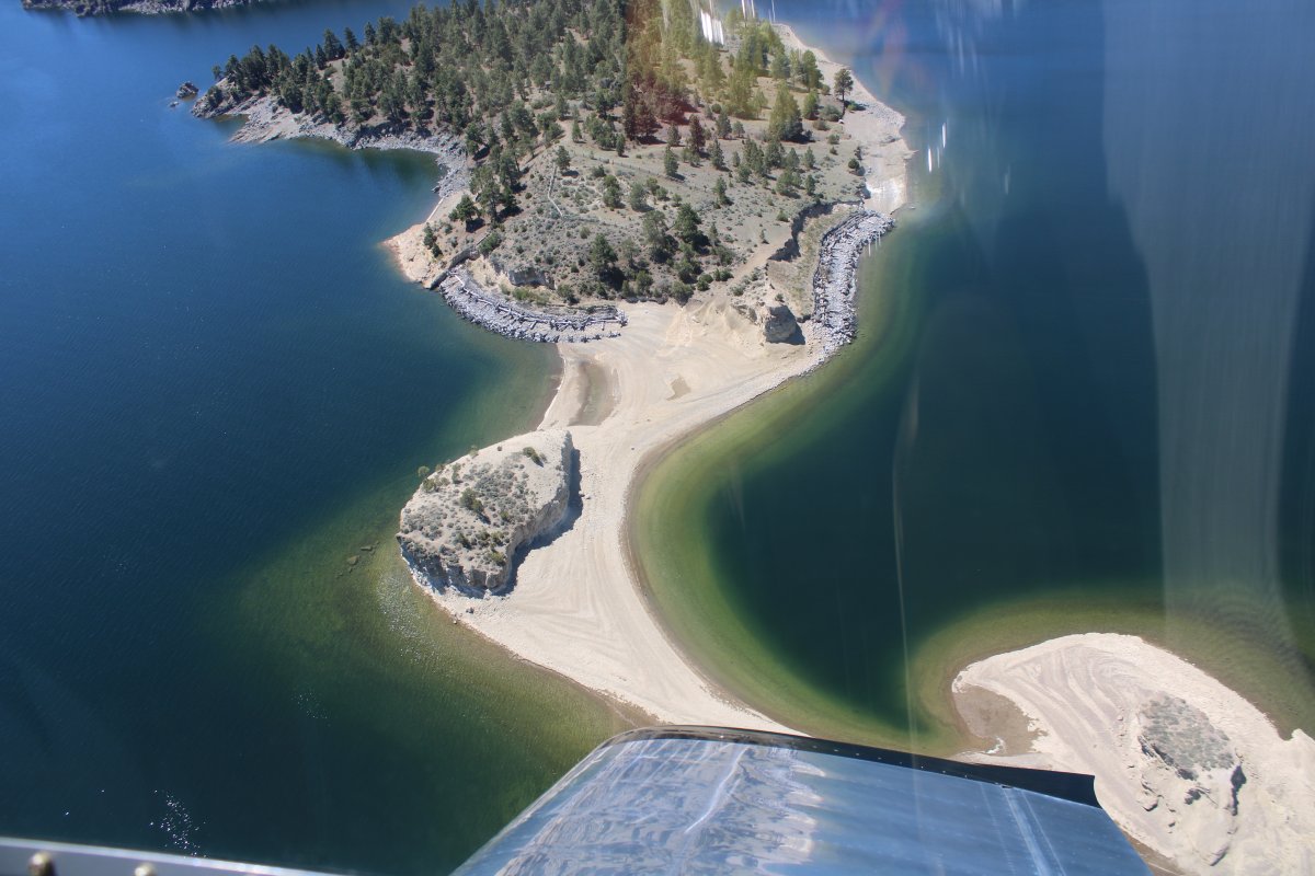
| Checking out an island with a nice beach. |
| |
 |
|
|
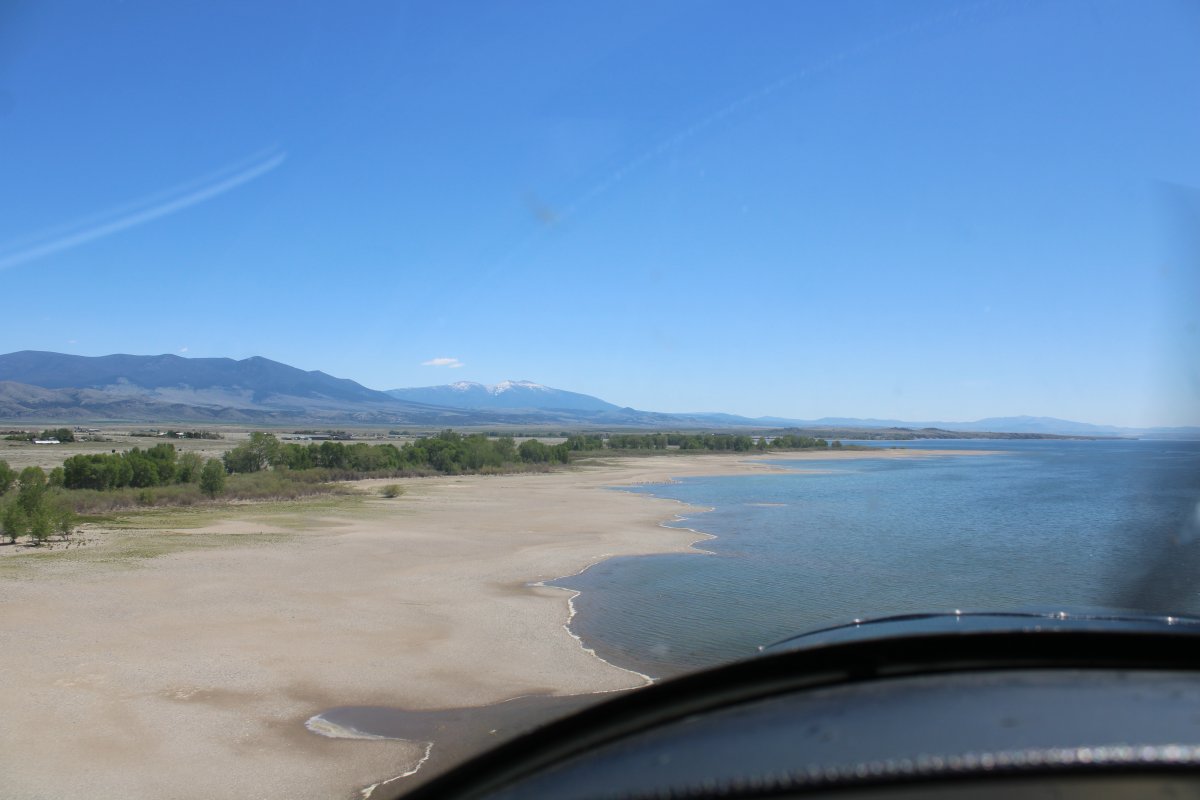
Cruising southeast down the shore.
|
| |
 |
|
| Two big mountains to the southeast. The tallest, Mount Edith, is 9,520 feet. |
| |
 |
|
| Passing by Canyon Ferry Airport (8U9). Elevation 3,840 ft. It's a public airport but has no facilities. |
| |
 |
|
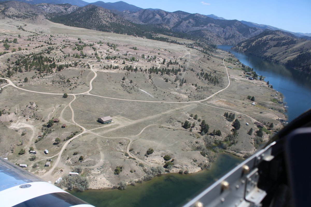
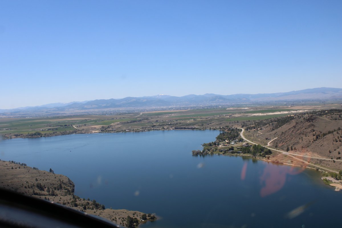
| At the southern end of the lake is Townsend Airport (8U8). This airport has facilities. I remember landing here in 2010. |
| |
 |
|
|
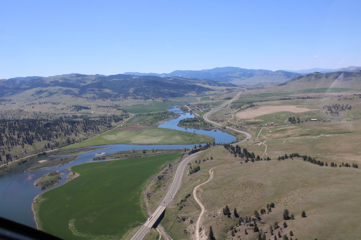
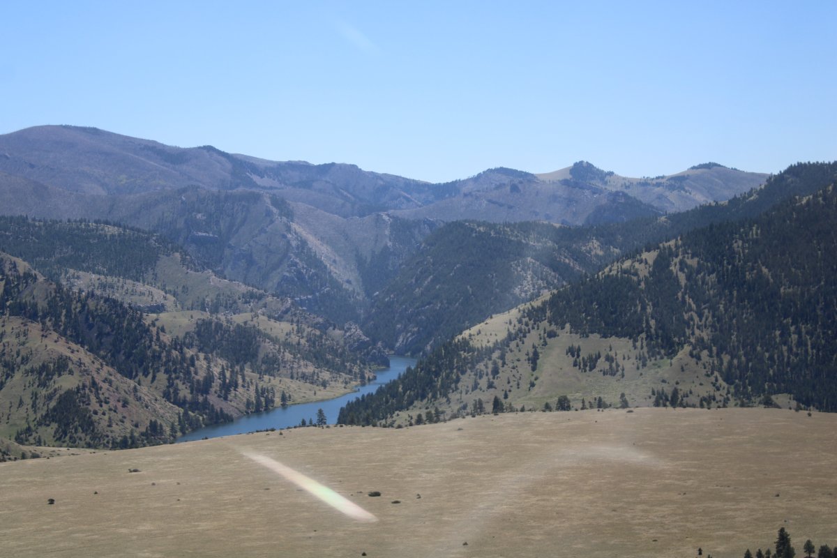
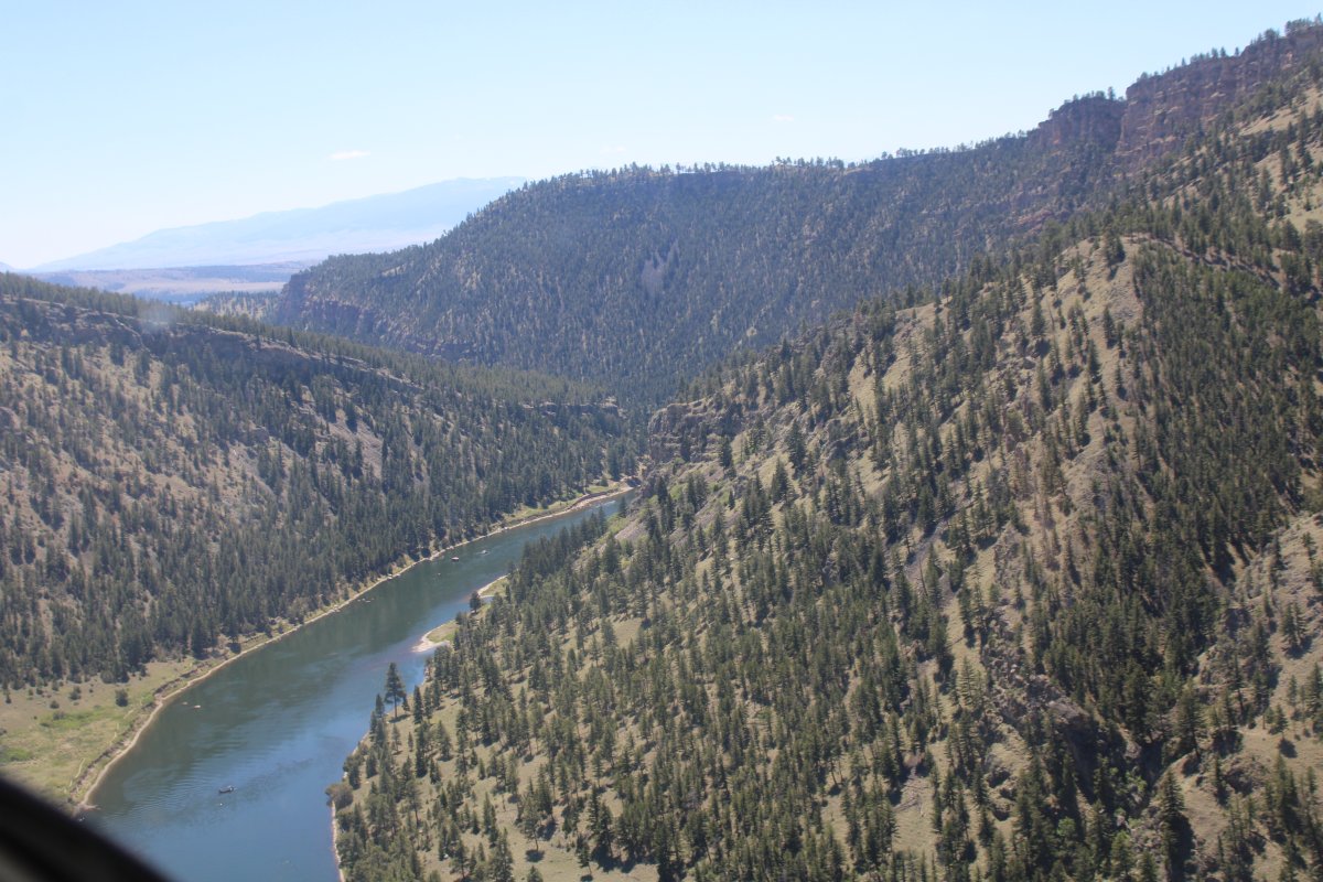
Continuing south down the Missouri River.
|
| |
 |
|
| I'm not far from the point where the Missouri River officially starts: at the confluence of the Jefferson and Madison in Missouri Headwaters State Park near Three Forks, Montana. It is soon joined by the Gallatin a mile downstream. |
| |
 |
|
|
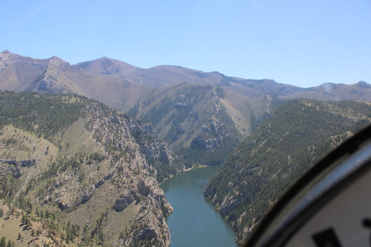
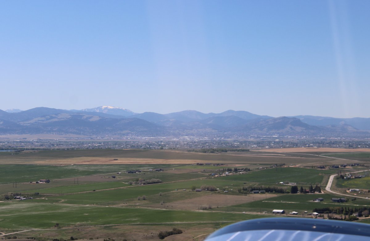
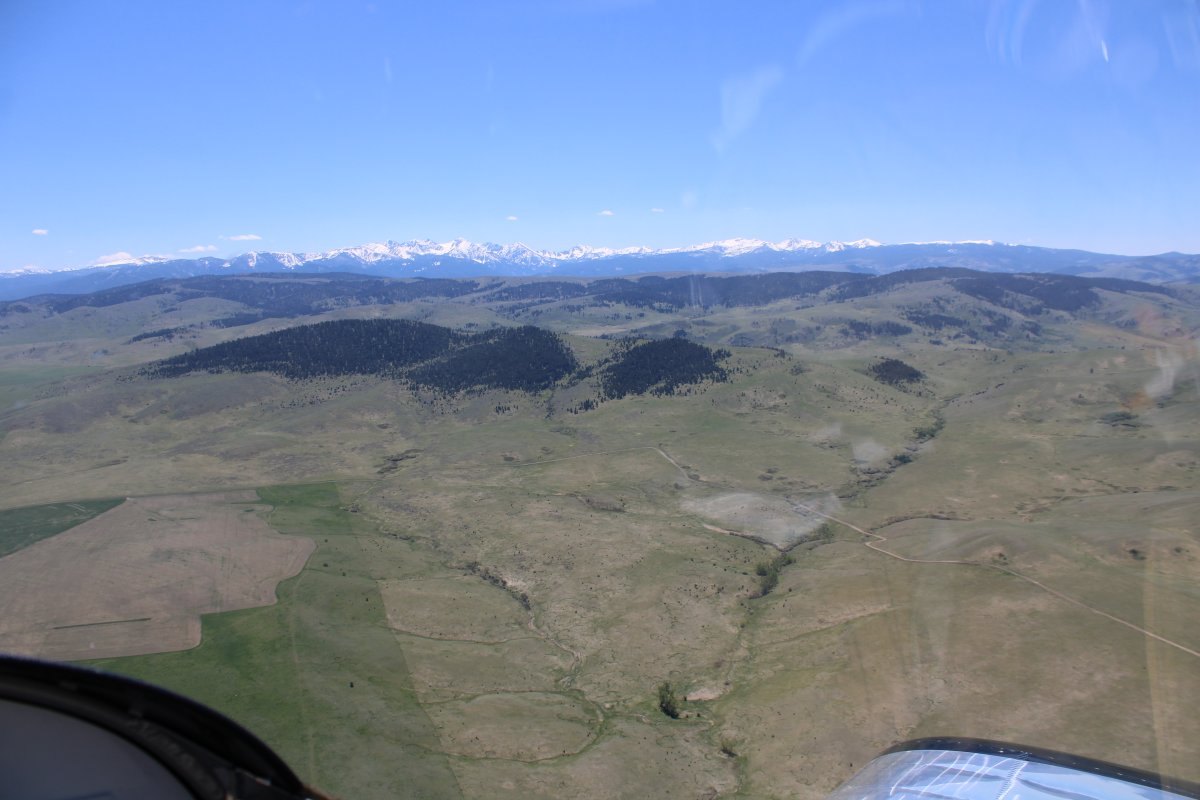
Heading south down a big valley, looking east.
I wish I would have flown over Three Forks and the beginning of the Missouri River. I could have followed the Madison River south. This segment of the trip -- Chinese Wall to Yellowstone West -- was not planned in advance and when you don't do that, you miss opportunities.
|
| |
 |
|
|
Looking southwest.
|
| |
 |
|
| I think I'm following the Gallatin River south now. |
| |
 |
|
| |
| |
 |
|
| Following the Gallatin River and Highway 191 south. |
| |
 |
|
|
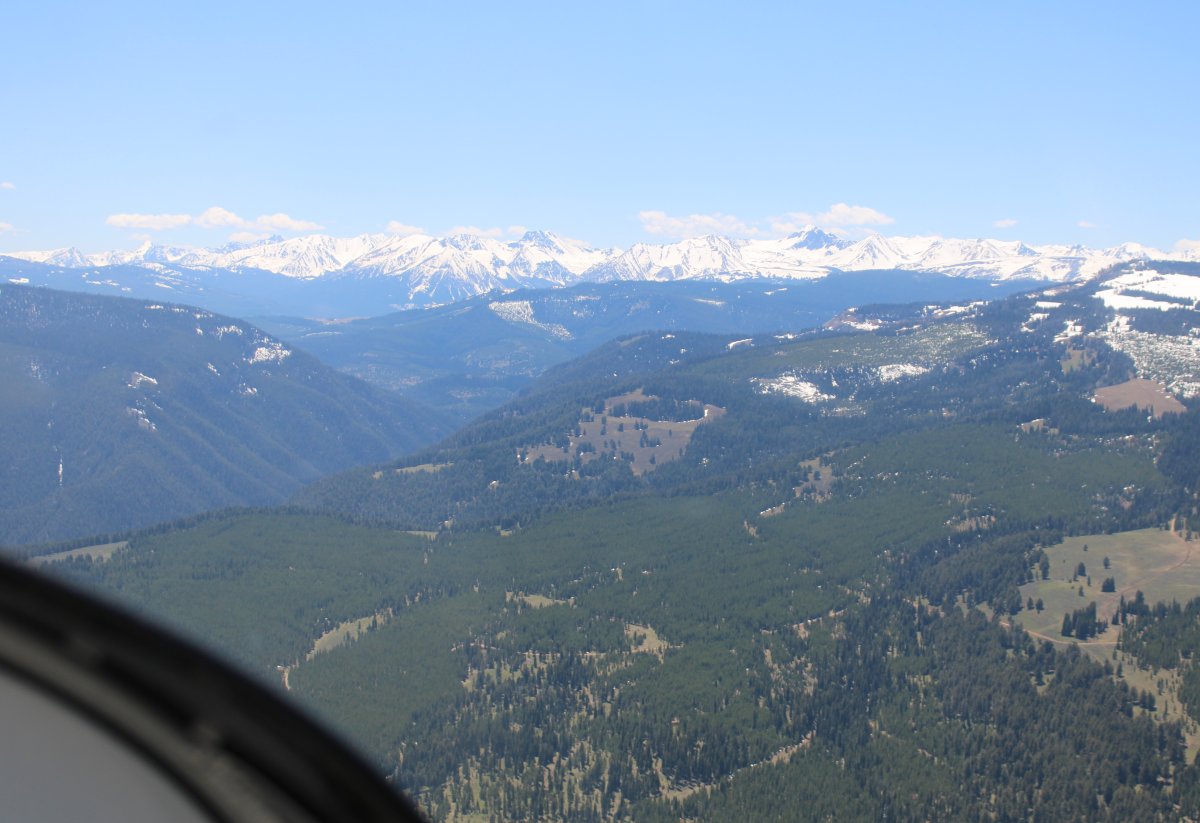
A big, snow-covered range to the southwest.
|
| |
 |
|
| Continuing south. |
| |
 |
|
|
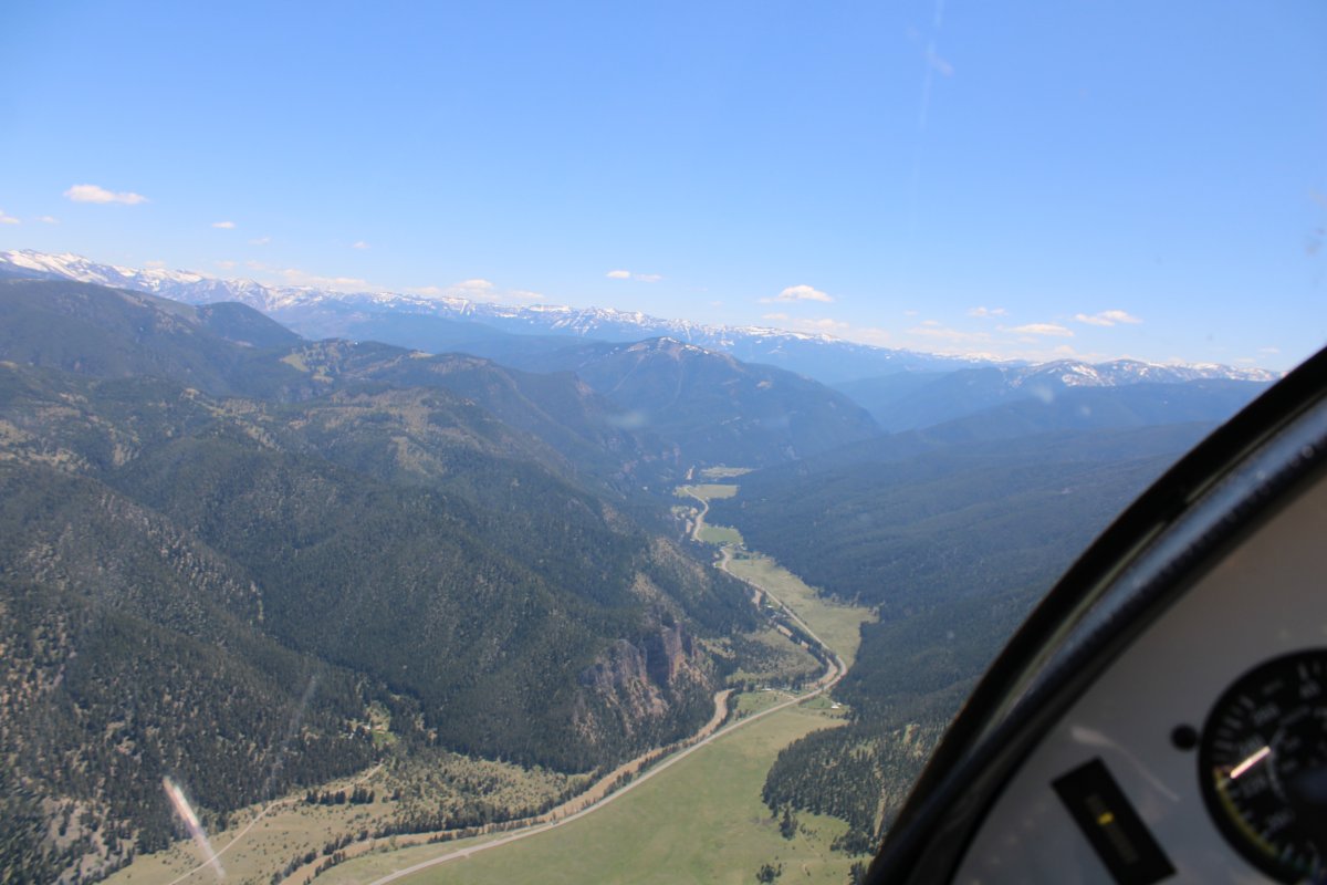
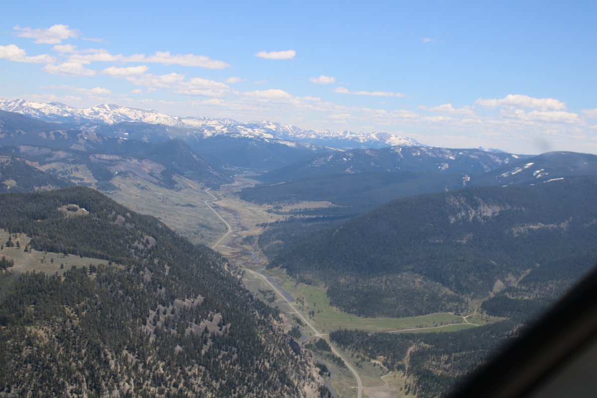
The Gallatin River heads off to the southeast, but I continue on Highway 191.
|
| |
 |
|
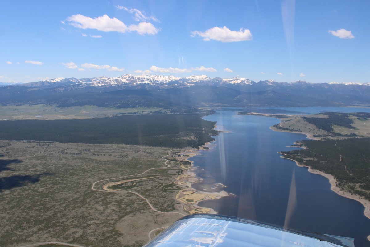
| I come out of the mountains into a big flat valley with Hebgen Lake to the southwest. |
| |
 |
|
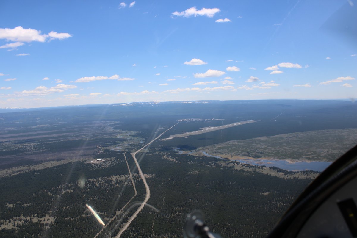
| And directly ahead is Yellowstone West Airport (KWYS). |
| |
 |
|
|
Another look at Hebgen Lake.
|
| |
 |
|
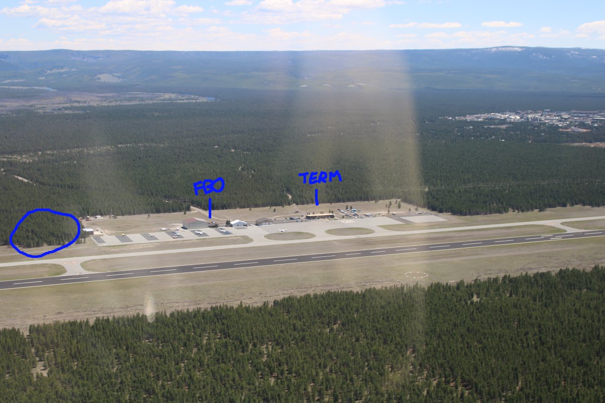
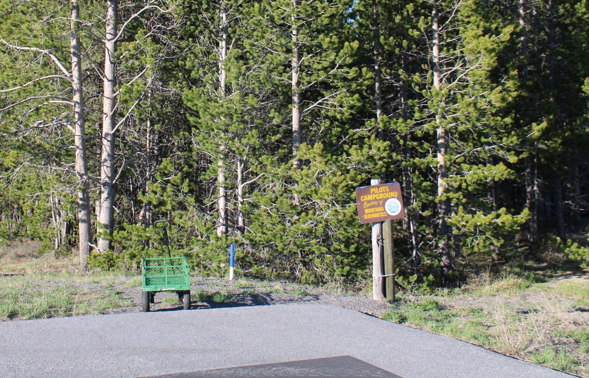
| On a left downwind for Runway 1 at Yellowstone West. The circled area at left is the airport campground I would stay at. The town of West Yellowstone is at far right. |
| |
 |
|
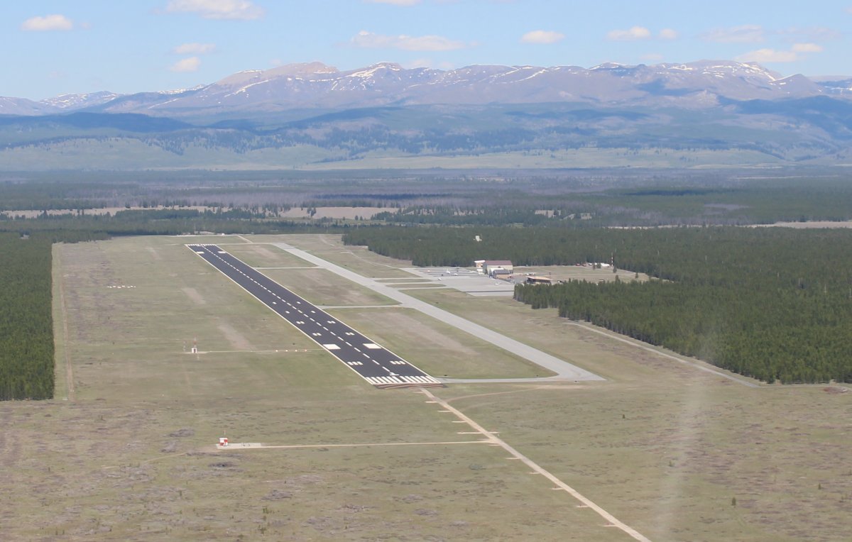
| Turning final for Runway 1. As you can see, the runway is long -- 8,400 feet -- and wide -- 150 feet. I gather this is the airport the rich and famous fly their private jets into for a visit to Yellowstone National Park. |
| |
 |
|
| My plane tied down at the north end of the ramp, by the camping area. The tie-down straps were provided: a nice touch! I carry my own, of course, but it's easier to use the existing ones. I don't know if mine would have been long enough for these wide tie-downs. |
| |
 |
|
|
Looking north.
|
| |
 |
|
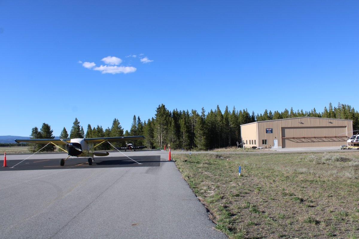
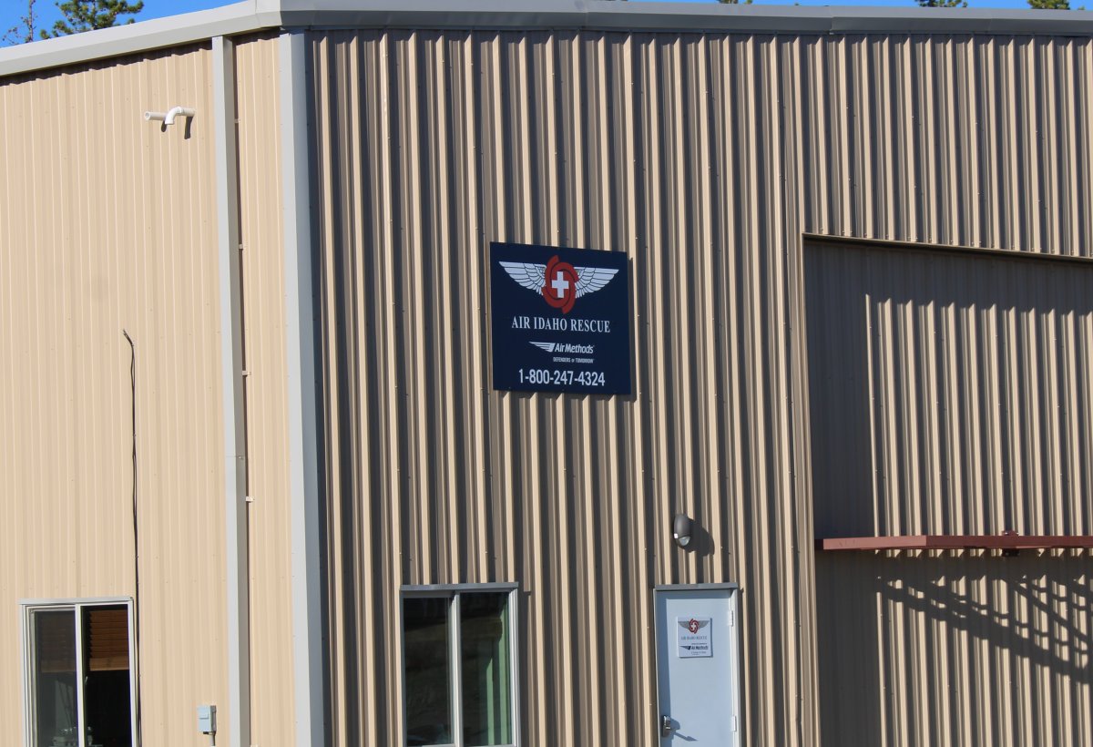
| The big hangar at the north end belongs to Air Idaho Rescue. |
| |
 |
|
|
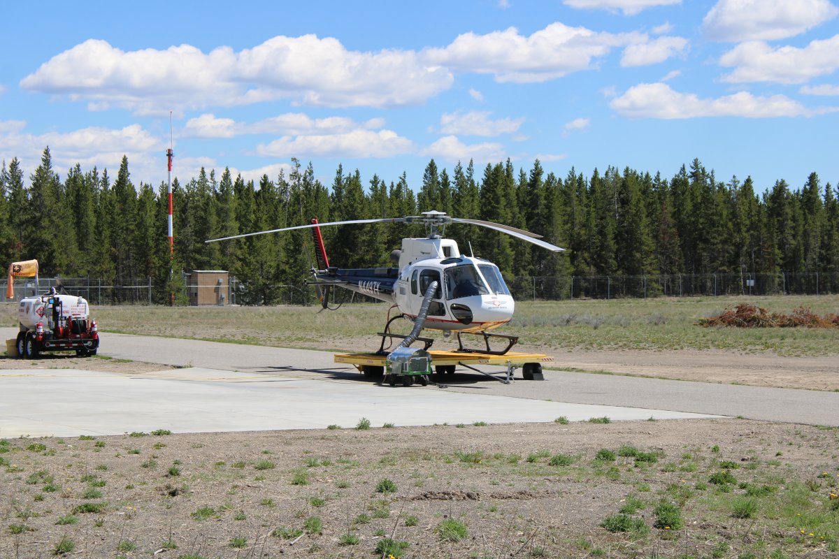
Air Idaho's Rescue helicopter sits outside on a moveable platform. I talked with one of the pilots who asked me about the RV-7. I asked him what he did with the helicopter and he told me it is on standby for emergency rescue. Someone gets lost in the woods, has a heart attacket, etc. they launch and go save him. He said SPOT and personal rescue beacons (PRBs) gave them the latitude-longitude and they could be there quickly. Good to know!
|
| |
 |
|
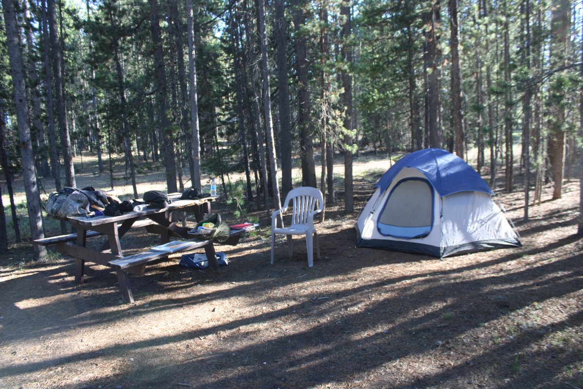
| My campsite in the woods. The picnic table and chair was nice to have. With no transportation, my dinner was some trail mix! After exploring the airport, I read until it got dark and went to bed at 9PM. I was the only one in the campsite. It was a little unnerving being by myself out in the woods, but I took solace in the fact that the airport is surrounded by a fence, so no bears could get in. At least that was my hope. It didn't seem cold at first but by 4AM I was cold, even though my sleeping bag is supposed to go down to below zero. I don't think it ever got below 40 degrees farenheit, so I think a new sleeping bag is in the future. |
| |
 |
|
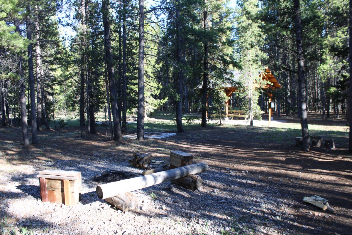
| A covered pavilion and multiple firepits were available, plus a toilet facility. The water spicots were not working; I think it is too early in the season and they are not turned on yet. |
| |
 |
|
| Another nice touch were these green carts on the ramp, useful for carrying your gear from the plane to the campsite. |
| |
 |
|
|
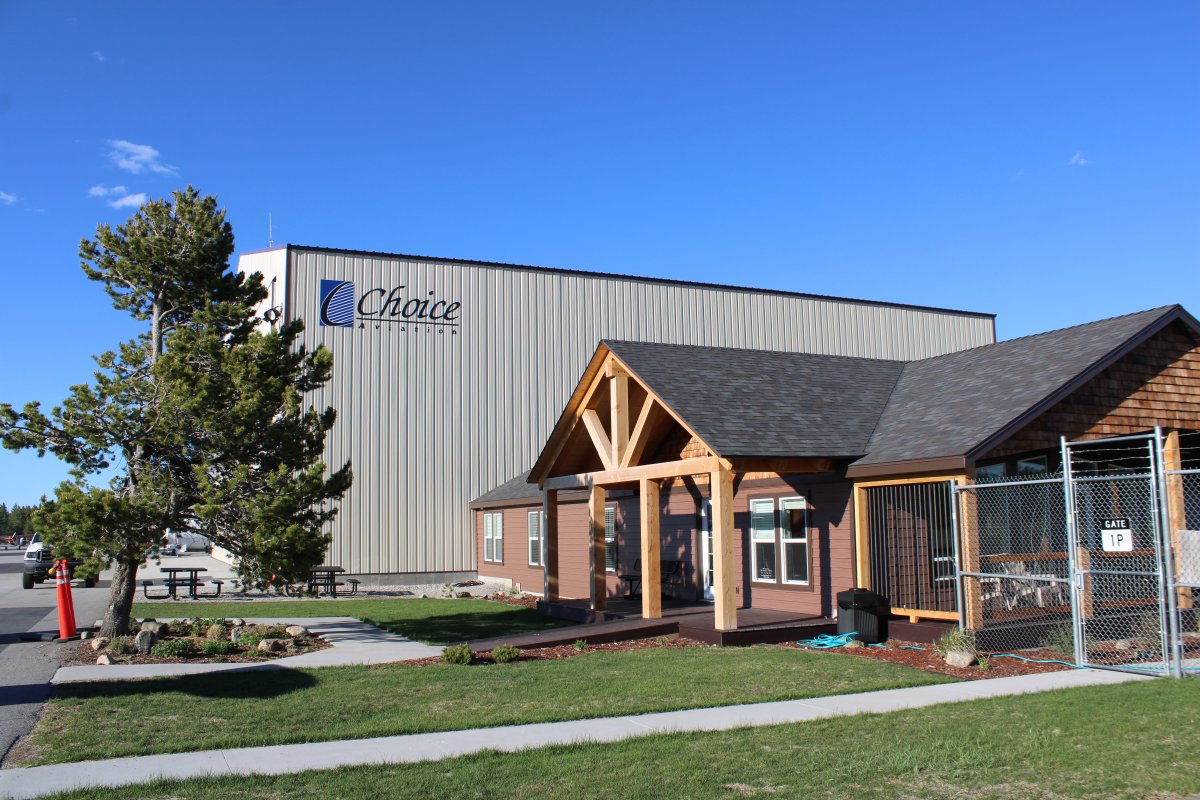
The FBO office and pilot's lounge. A nice facility with Wifi. The desk was manned during working hours. The attendant was very friendly, even though I'm flying a little plane and not a multi-million dollar jet. I topped off with gas at the self-service fuel pump so there were no fees. They have a courtesy car but its only for lunch runs, not overnight.
|
| |
 |
|
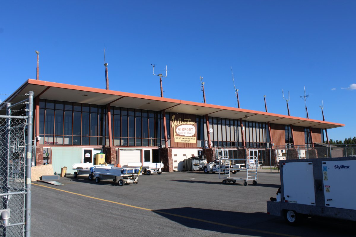
| After 5PM, I had the airport to myself. I walked around the ramp on the inside of the fence. At the south end of the Ramp was this terminal. I fiture it probably doesn't get used much like most terminals you see at small, non-towered airports. |
| |
 |
|
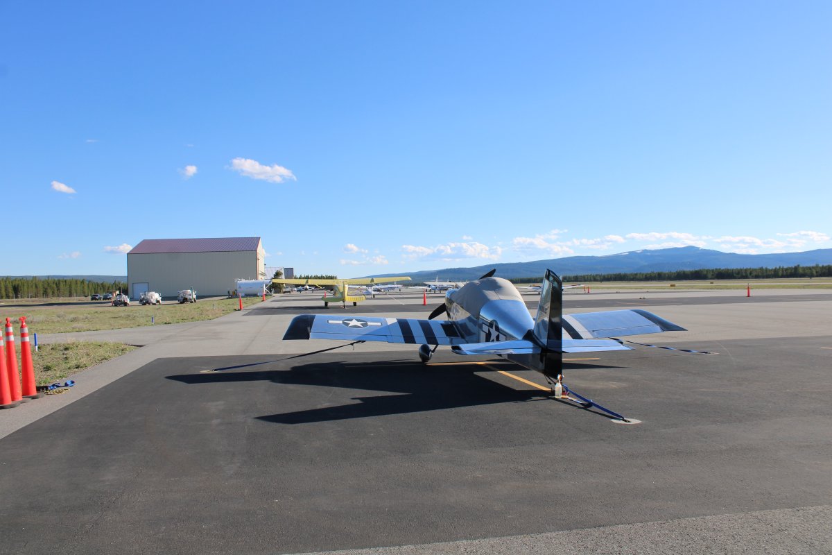
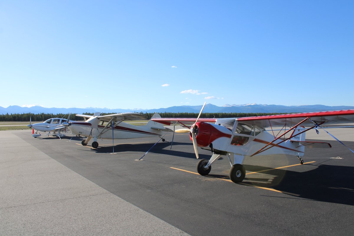
| A Cirrus, taildragger and Kitfoxed tied down on the ramp. |
| |
 |
|
| |
| |
|
|
|
|
|
|